The Age River was completely mapped this summer
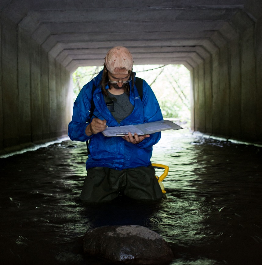
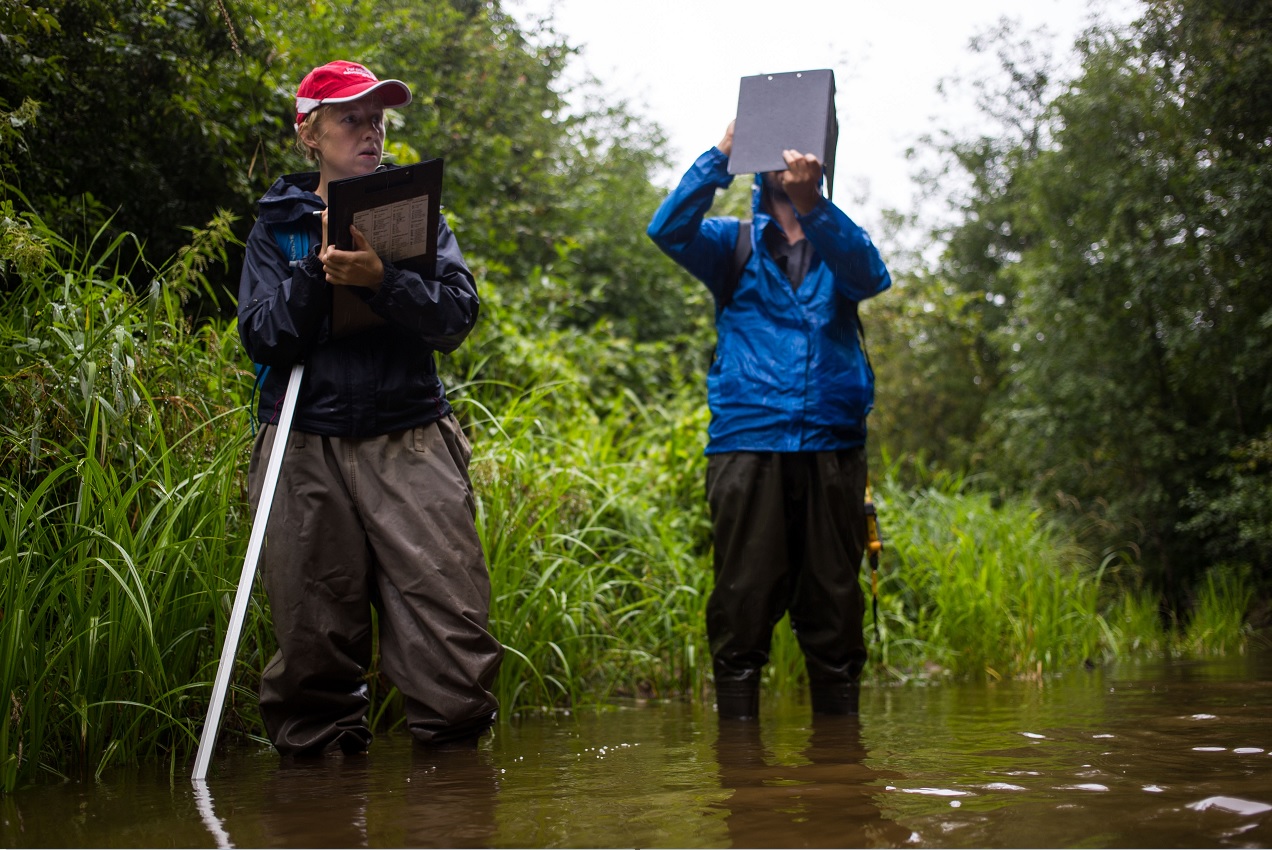
For the first time in Latvia, the entire river has been mapped in its entirety, including all its most important tributaries. Every meter of the river and its tributaries has been walked and everything essential has been recorded. Why is this necessary, says Kaspars Abersons, a researcher at the state scientific institute “BIOR”: “In order to solve problems in our waters, we must first fully understand them. We cannot look at one point in the river and look for a solution for this one place, because it is possible that the cause of the problem is in another section of the river. We must look at the entire river as a whole, and that is why this stage of our project is so important.”
Currently, work is continuing in Mergupe, the river itself has been mapped and work has begun on its tributary, the Zaube, to record what the river is like now, and from this, together, it will be possible to understand what the river's sediment balance is - whether there is too much or too little. Slopes, changes caused by beavers, and the condition of the riverbed are being recorded. Based on the information obtained, the project partners will be able to jointly decide what needs to be done to improve the quality of the river.
There are different ways to describe a river. In this mapping, researchers from BIOR and the Latvian Centre for Environment, Geology and Meteorology used the most popular and most commonly used river habitat assessment method in the world (River Habitat Survey or RHS). According to this method, a 500-meter-long section of the river is surveyed, and every 50 meters the substrate in the river and on the bank, the type of current, overgrowth, width and bank modifications are recorded. In this survey, using another standard method – the Trout Habitat Score or THS, it was also assessed whether the river is suitable for trout. Trout is an ecologically sensitive species, the occurrence of which indicates a good ecological state of the river. The mapping shows that several sections of the Mergupe are suitable for trout, but the actual distribution of this species will be determined after the fish census, which is planned to be completed by mid-August.
The mapping of Mergupe is planned to be completed by September, while similar work will take place in Auce and Zaņa in 2021.
The mapping of the Aģe and Mergupe rivers is taking place within the framework of the Life Goodwater IP project. The aim of the project is to improve the quality of Latvian surface waters in water bodies at risk. The project is being implemented by 19 Latvian organizations related to environmental issues from 2020 to 2027, with the Latvian Centre for Environment, Geology and Meteorology as the lead partner.


